The difference between GIS and cartography is that GIS, is used to collect and analyze information that is somehow related to a geographical location. But cartography is the science of mapping. In the following, you will ..
Read more
Satellite image processing means collecting information without physical contact from the ground surface effects. Imaging satellites capture the image at different wavelengths, the images obtained by the satellite image ..
Read more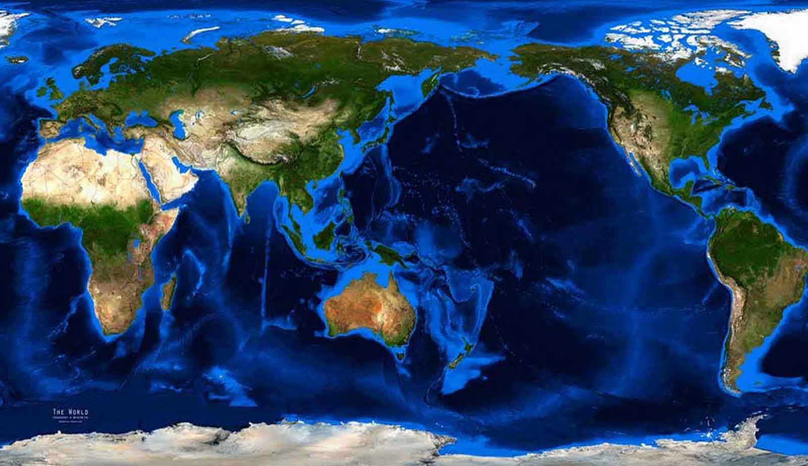
The topographic map shows the physical features of the earth's surface, including natural features and human features. Most topographic maps are obtained from satellite and aerial images and are widely used in geological ..
Read more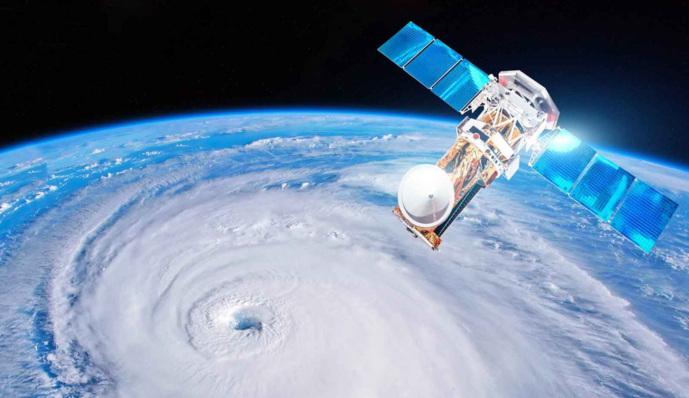
Tarhgerad Company is a powerful arm of engineers in surveying in order to prepare satellite maps. We always strive to satisfy our customers and we hope that our services in the field of satellite data sales will be usefu ..
Read more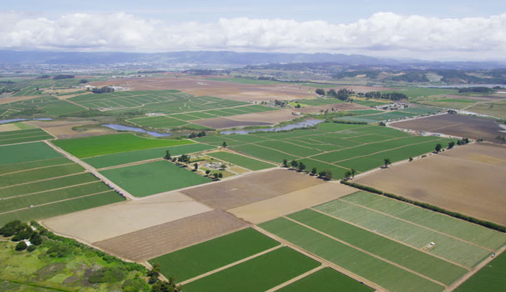
UAV mapping of agricultural lands improves the agricultural process, including crop efficiency, cost reduction and more accurate crop estimation. 70% of the country's lands do not have ownership documents, which can be s ..
Read more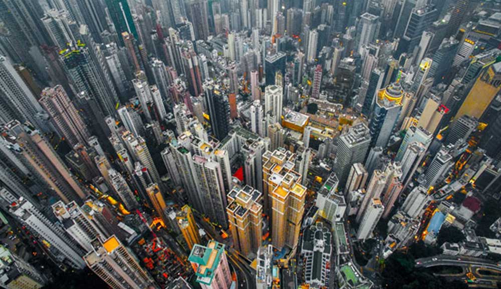
Urban mapping is used to prepare and implement comprehensive and detailed plans of cities. In some urban areas, ground surveying is very difficult and urban mapping is easier and faster with UAVs. Tarhgerad Company is on ..
Read more
")
")
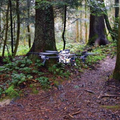
In this article, some applications of UAVs in forest sciences are mentioned and in fields such as UAV-assisted forest management, mapping forest whit UAV , Imaging of biodiversity in the forest by U
Read more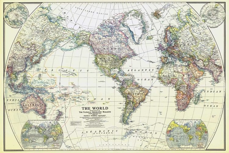
In this article, we want to acquaint you with the history of mapping, Cartography, types of cartographic maps, Classification of cartographic maps based on the purposes of preparing the map, General c
Read more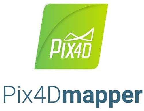
In the process of UAV mappings, specialized software is used to edit and process images and prepare quality maps. In this article, we have given examples of them, which include pix4d software, Agisoft
Read more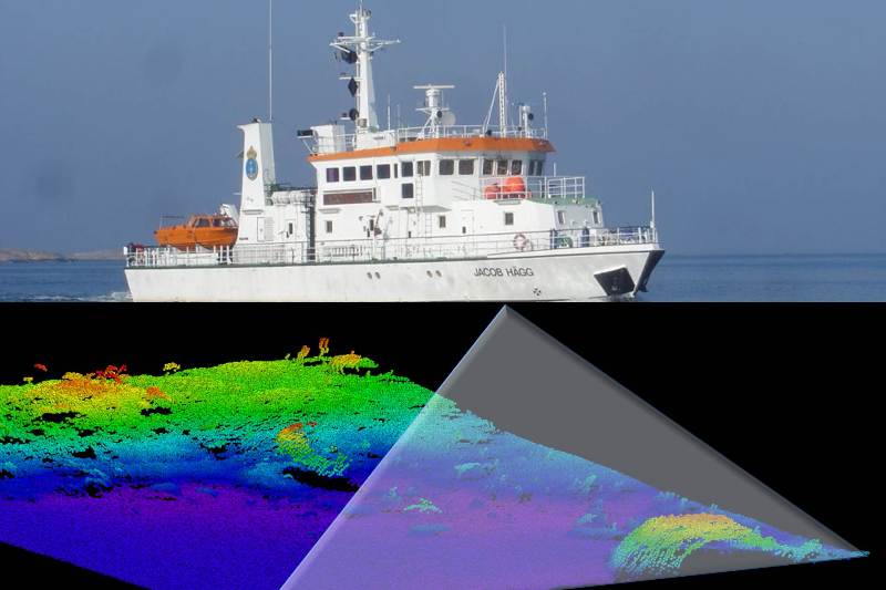
In this article we are going to talk about geodesy and hydrography and explain the tasks of geodesy and hydrography and get acquainted with different types of geodesy. It then lists the purposes of hy
Read more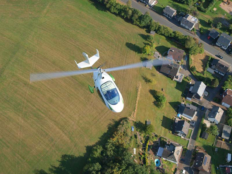
In this article, we are going to talk about issues such as: what is photogrammetry ?, aerial mapping steps (photogrammetry), photogrammetry problems in UAV mapping system , aerial mapping methods ,his
Read more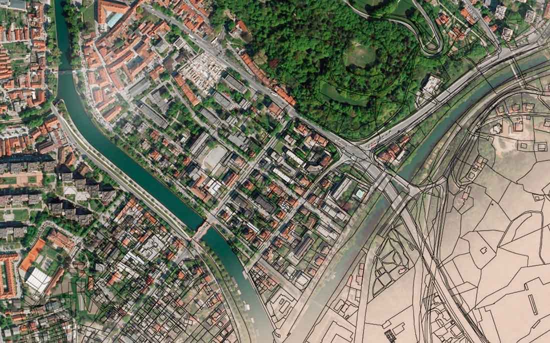
What is a cadastre? It is a collection of documents that indicate the area of arable, non-arable lands, properties, maps, etc. in different regions of the country, and its purpose is to determine land
Read more
What is GIS? It is an organized set of hardware, software and specialized human resources for collecting, storing, analyzing and retrieving geographic information. Read more about GIS applications, ex
Read more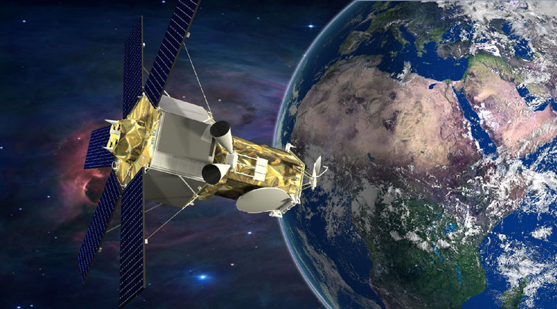
To check information about water sources and their salinity; Satellite images from satellite mapping are used. Satellite imagery is one of the most appropriate methods for assessing water quality due
Read more
Tarhgerad
Unit 12, third floor, Milad Noor Complex, Foraat St., Valiasr St., Baharestan,Isfahan,Iran