
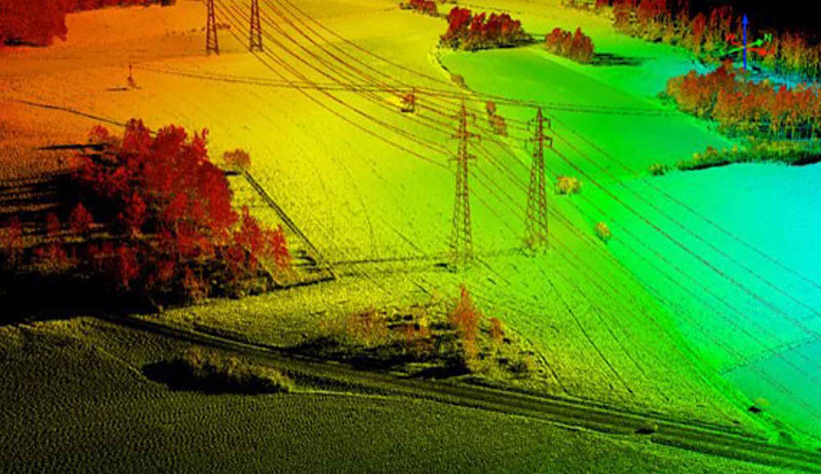
One of the most used applications of aerial mapping with UAVs is corridor mapping. It refers to areas that are several tens of meters or several hundred meters wide and several kilometers long. ..
Read more
Mining mapping is one of the branches of surveying engineering. It is used in mining and exploration, construction of road tunnels and water transfer. There is a need for high accuracy in mining and tunnel mapping. In th ..
Read more
UAV mapping of the mine is one of the types of aerial mapping. Which is used to explore mines and build road construction tunnels. In fact, the cost-effectiveness of using a drone compared to an airplane is one of the re ..
Read more
Tarhgerad
Unit 12, third floor, Milad Noor Complex, Foraat St., Valiasr St., Baharestan,Isfahan,Iran